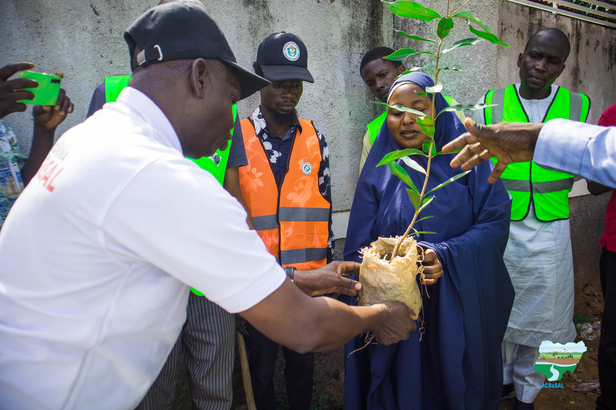
ADAMAWA STATE ACReSAL FLAGS OFF ONE MILLION TREES DISTRIBUTION AND PLANTING CAMPAIGN!#GreeningAdamawa #ACReSAL #ClimateAction #TreePlantingIn a landmark step to...


ADAMAWA STATE ACReSAL FLAGS OFF ONE MILLION TREES DISTRIBUTION AND PLANTING CAMPAIGN!#GreeningAdamawa #ACReSAL #ClimateAction #TreePlantingIn a landmark step to...
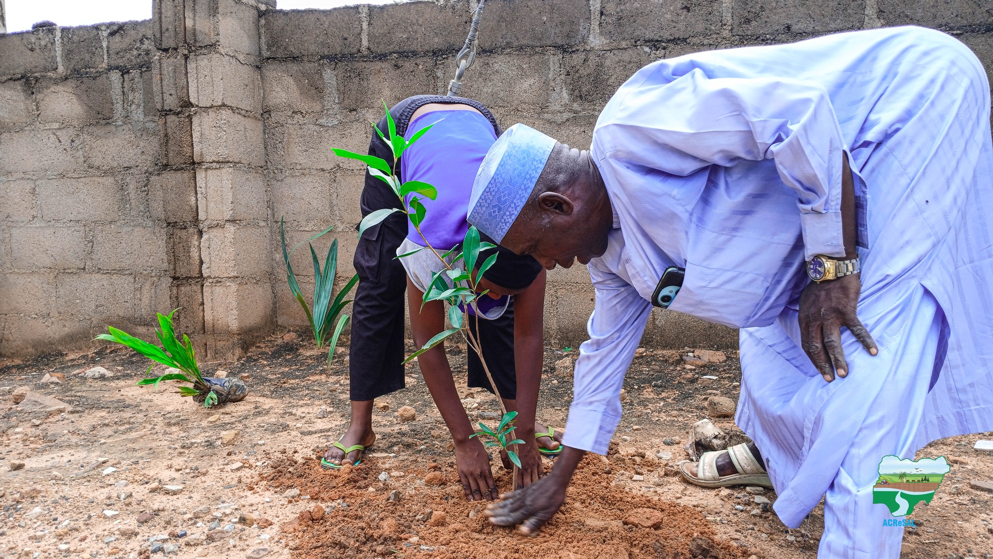
This week, the Adamawa ACReSAL team continues the 1 Million Tree Planting Exercise across the state — restoring landscapes,...

Empowering Demsa Communities for a Thriving Farming Season! Sequel to last week’s engagement on peace building, catchment management planning,...